1: Surveys
Today, I'm continuing my articles summarising the RIBA Plan of Works, this article following on from Stage 0: Strategic Definition I will be writing a series of articles going into more detail on each stage to help people better understand the process by which architects work. This article covers the first stage - 1: Survey.
The Site
In most cases we will need site plans. A site location plan at 1:1250 and a block plan at 1:500 are required for both planning applications and building regulation applications. We would typical procure an ordnance survey map to be able to produce these drawings. However - CAUTION! These are great for identifying the location of the site, but terrible for accuracy. If we need to know precise locations of boundaries, or the site isn't exactly flat, then we always recommend a topographical survey. The topographical survey would pick up the levels and boundaries to ensure accuracy.

Building
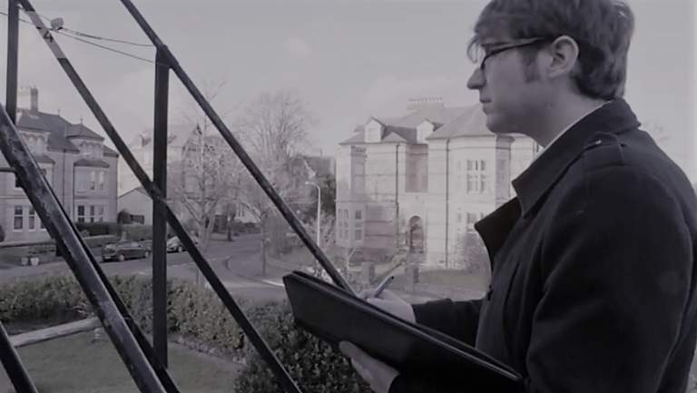
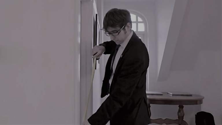
If your project involves working with an existing building, e.g. extension or refurbishment, your architect will need accurate plans to base the proposals on. Typically, this will involve a visit to the site, where the rooms are measured, including the heights, as well as other elements such as drain locations. These surveys are not just about measurements, a good survey will also involve a series of photographs as a record as well as observations about the building in general, as there may be other factors to consider such as restricted access, the presence of asbestos etc.

Considerations
Please remember that if someone is undertaking the survey, they will need to be able to see and access as much of the property as possible. This may mean that you have to clear rooms, or even arrange for overgrown sites to be cleared so that we can see the boundaries. Also, please be sure to let us know about any potential dangers e.g. a grown over mine-shaft that we might fall into!

